Read entire PDF
Opens in new tab ↗️

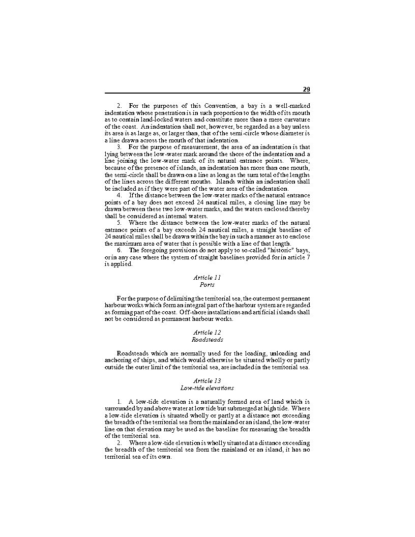
" A low-tide elevation is a naturally formed area of land which is surrounded by and above water at low tide but submerged at high tide. Where a low-tide elevation is situated wholly or partly at a distance not exceeding the breadth of the territorial sea from the mainland or an island, the low-water line on that elevation may be used as the baseline for measuring the breadth of the territorial sea."
DEFINITION OF TERMS IN THIS CLAUSE
➡ line along the coast of a coastal State as marked on large-scale charts officially recognised by the coastal State which acts as the starting point for measuring the breadth of the sea around a coastal state.
➡ a naturally formed offshore land feature (such as mudflat, shoal, rock, or reef ) within a distance of not more than 12 nautical miles from the low-water line of the mainland or an island, which is surrounded by water and visible at low tide but submerged at high tide.
➡ the salt water that covers most of the earth's surface and surrounds its continents and islands
➡ a liquid without colour, smell or taste that falls as rain, is in lakes, rivers and seas, and is used for drinking, washing, etc




Please log in or register to access this content. Logging in will grant you acess to subscriber contents like unlimited access to our articles, glossaries, lexicons, quizzes, downloads, forum participation, etc.